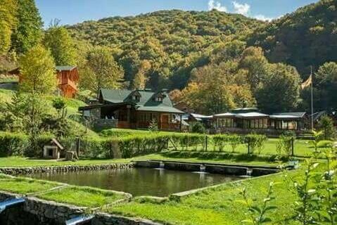
Berovo Lake – Dvorishte – Bela Voda trail
The trail is 20 km. long and starts from the confluence of the Klepalo River in the Berovo Lake at 950 m a.s.l. The first 7 km. is a climb, and after the first hour of hiking you reach Sheepfold Kalamadevski. The highest point on the trail is Babin Shukar at 1403 m a.s.l. where you can see the peak of the highest mountain in this part of Maleshevo – Ograzden peak and some peaks of the Belasica Mountain. The trail passes through the site of Turtela (4th century archaeological site) beside the church of St. Ilija and through the village Dvorishte at 950 m a.s.l. The trail continues along the Ograzden Mountain and ends at the touristic complex Bela Voda at 1200 m altitude with 453 m elevation gaining. The trail is picturesque and offers a beautiful view of the meadows, pine and beech forests.