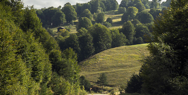
Berovo – Ablanica – Berovo trail
The trail is 7 km. long and starts from Berovo at 850m asl from the church Sv. Bogorodica, The trail continues along the river Bregalnica and leads to the settlement Ablanica. It is 120 m elevation gaining and the highest point in is 970 m a.s.l. The trail ends at Juovec at 900 m a.s.l on the eastern part of Berovo which offers a beautiful view of the city.